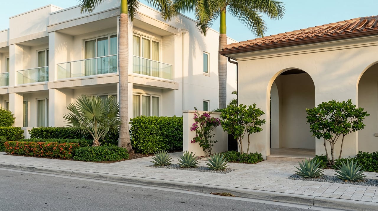
Understanding Aqualane Shores Waterfront Values Today
Two waterfront lots in Aqualane Shores can look similar in photos yet trade millions apart. If you have ever wondered why, you are not alone. Waterfront value here is driven by a handful of measurable details that directly affect boating utility, views, risk, and long‑term desirability. In this guide, you will learn exactly which factors move prices, how to verify them, and what to request before you buy or list. Let’s dive in.
Use this quick scan when you open an Aqualane Shores listing sheet:
Nice to have: shore power details, lift capacity in pounds, photos at low and high tide, and recent marine inspection notes.
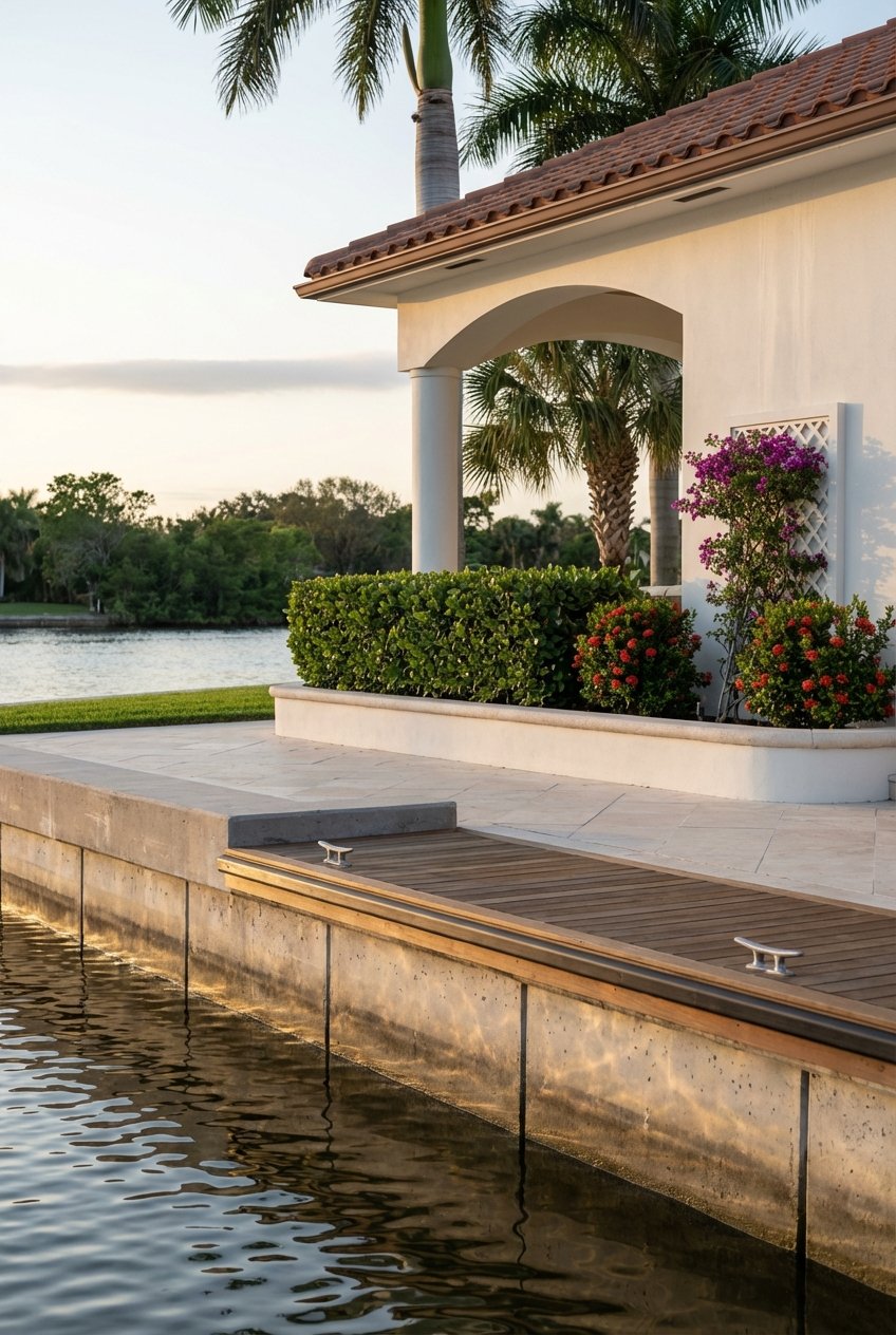
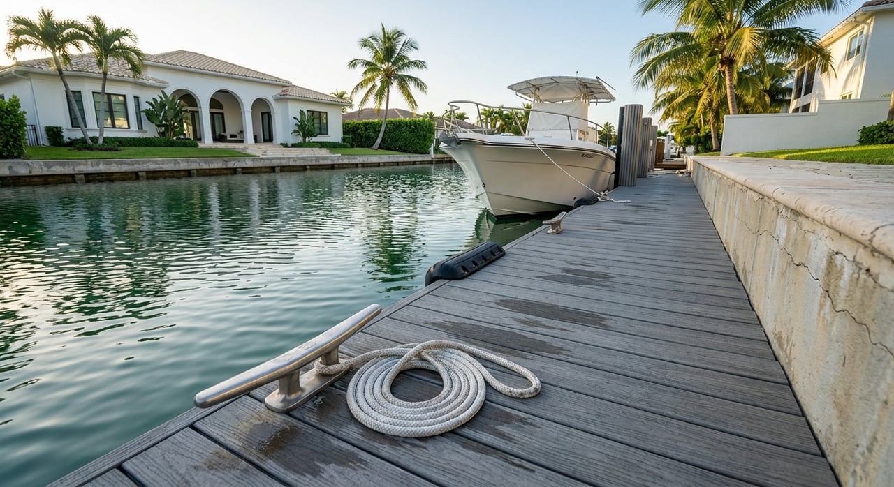
Depth and width determine the largest boat a property can support and how easily you can maneuver. Depth claims should reference Mean Low Water (MLW), which tells you how much water sits under your hull at the lowest normal tide. In Aqualane Shores, local descriptions indicate deep‑water canals often range roughly 8 to 16 feet at MLW, which supports a wide range of sportfishing and express cruiser drafts. Always verify the number at the dock rather than relying on general neighborhood statements.
Why this matters: deeper, wider canals and long, straight frontage attract large‑vessel owners and can command meaningful premiums. Shallow or constrained docks narrow the buyer pool and can slow resale. Recent listing and sales patterns in Aqualane show multi‑million dollar differences for lots with greater linear frontage and documented MLW depth.
What to request:
If a listing says “deep water” without a number, ask for the MLW depth in feet.
“No‑bridge” access is a major premium in Naples because it removes air‑draft limits and reduces delays. This is separate from water depth. When bridge clearances are published on charts, they are typically referenced to Mean High Water (MHW), not MLW. That datum detail matters when you compare your vessel’s air draft to a posted clearance. NOAA explains how these clearances are charted and how to plan for tides when margins are tight in its guidance on bridge clearances and tidal datums.
What to verify:
Shorter transit to Gordon Pass means more time on the Gulf and less time idling in no‑wake zones. Many listings say “minutes to the Pass,” but that number depends on nautical miles, assumed boat speed, and local slow‑speed stretches.
How to compare apples to apples:
These simple data points help you weigh lifestyle utility across otherwise similar lots.
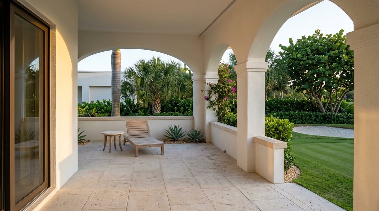
On the water, linear feet of usable frontage often matters more than total lot area. More frontage typically allows for longer docks, larger lifts, and the ability to moor multiple vessels or wider beams. Orientation can add value too. Southern and western exposures bring natural light and sunsets across the water, which many buyers favor.
How to read it on a listing sheet:
Unobstructed bay or open‑water views typically carry a premium over partial cove views. Appraisal research shows that wider viewsheds can yield material price differences, with water access and view quality ranking among the strongest residential amenity drivers. For background on how appraisers quantify view premiums, see this overview of water view valuation patterns.
What to weigh in Aqualane Shores:
A quick check of public records and recent permits can help you assess view permanence.
Seawalls and docks are high‑cost capital items. Condition, remaining life, and whether work was permitted and engineered are major pricing and negotiation points. Replacement or major repairs can be significant line items, so clear documentation is valuable for both sides. For a practical primer on maintenance planning, review this local overview of seawall maintenance and budgeting.
Before you price or write an offer, request:
If repairs are imminent, sellers often address the issue with pricing credits or documented bids rather than delaying the sale for lengthy marine work.
Flood designation, finished floor elevation versus Base Flood Elevation, and the presence of a current elevation certificate affect mortgage requirements and insurance pricing. Collier County’s floodplain resources explain local mapping and compliance steps, which are important inputs for underwriting and buyer confidence. You can review Collier’s guidance on floodplain management and documents.
Signals that help pricing and marketability:
For sellers, pre‑ordering an elevation certificate can shorten diligence and reduce friction. For buyers, having quotes in hand clarifies total carrying costs.
Aqualane Shores has seen active teardown and new‑construction cycles in favorable markets. Recent high‑end builds often set the new upper comps and can lift lot‑value baselines. In that environment, older renovated homes may need sharper pricing unless they offer unique architecture or lot attributes. If you are selling, consider whether a light pre‑sale refresh, a land‑value positioning, or a redevelopment story will unlock the best outcome.
Aqualane Shores is a compact, highly sought Naples waterfront enclave of roughly 300 acres with about 350 to 370 single‑family sites. It sits between Olde Naples and Port Royal with broad, direct access to Naples Bay and the Gulf via Gordon Pass. Neighborhood briefs and local MLS packages consistently place closed prices in the multi‑million to multi‑ten‑million range depending on frontage, depth, and lot characteristics. Inventory remains tight for properly documented deep‑water lots.
Whether you are buying or selling, organize the facts buyers and underwriters value most.
For sellers, assemble a concise waterfront package:
For buyers, request those same items early. Add a marine survey, a licensed coastal engineer or seawall specialist inspection, a boundary and waterline survey, an elevation‑certifying surveyor’s update, and insurance quotes. These are normal contingencies for Naples waterfront and help you compare options objectively.
When a listing catches your eye, look for these exact line items:
The more precisely these facts are documented, the easier it is to justify a premium and the smoother your transaction will be.
Ready to weigh your options in Aqualane Shores with clarity and discretion? If you want a data‑driven valuation of your property or curated access to on and off‑market opportunities, connect with The Silvers Group for a private consultation.


Bringing together a team with the passion, dedication, and resources to help our clients reach their buying and selling goals. With you every step of the way.
Get In Touch With Our Team To Learn More